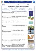
Maps as Models of the Earth
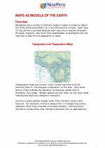
Maps are a fundamental tool for representing the Earth's surface. They are two-dimensional representations of the three-dimensional Earth, and they use symbols, colors, and labels to convey information about the Earth's features. Maps are models of the Earth because they simplify and represent the complex and vast surface of the Earth in a way that is understandable and useful for various purposes.
Types of Maps
- Physical Maps: These maps show the natural features of the Earth, such as mountains, rivers, and deserts.
- Political Maps: These maps display boundaries between countries, states, and cities.
- Topographic Maps: These maps use contour lines to represent the shape and elevation of the land's surface.
Uses of Maps
Maps are used for navigation, planning travel routes, understanding geography, studying the environment, and much more. They are essential for a wide range of activities, from urban planning to outdoor recreation.
Contour Models
Contour models are representations of the Earth's surface that use contour lines to show the elevation and shape of the land. These models are important for understanding the topography of an area and are commonly used in geography, geology, and engineering.
Contour Lines
Contour lines are lines drawn on a map or model that connect points of equal elevation. Each contour line represents a specific elevation, and the spacing between contour lines indicates the steepness of the terrain. Close contour lines indicate steep slopes, while widely spaced contour lines represent gentle slopes.
Creating a Contour Model
To create a contour model, surveyors and cartographers use elevation data collected from the Earth's surface. They then use this data to draw contour lines on a map or to create a physical model that accurately represents the topography of the area.
Understanding Contour Models
By studying contour models, we can visualize the shape of the land, identify features such as hills and valleys, and plan construction projects, hiking trails, and other activities that require an understanding of the terrain.
Understanding maps as models of the Earth and contour models is crucial for various fields of study and practical applications, from understanding the natural world to making informed decisions about land use and development.
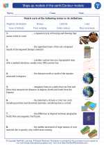
.◂Science Worksheets and Study Guides Sixth Grade. Maps as models of the earth/Contour models
 Worksheet/Answer key
 Worksheet/Answer key
 Worksheet/Answer key
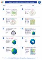
 Vocabulary/Answer key
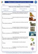
 Vocabulary/Answer key
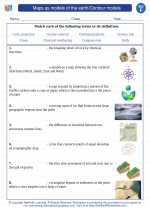
 Vocabulary/Answer key
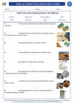
 Vocabulary/Answer key
 Vocabulary/Answer key