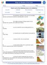
Maps as Models of the Earth
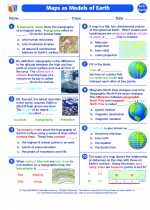
Maps are powerful tools that help us understand and navigate the Earth's surface. They are two-dimensional representations of the three-dimensional Earth. It is important to understand that maps are not perfect replicas of the Earth, but rather models that represent the Earth in a simplified form. As models, maps have inherent distortions due to their flat nature, as opposed to the spherical shape of the Earth. Understanding how to read and interpret maps is crucial in fields such as geography, cartography, and earth science.
Key Concepts
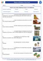
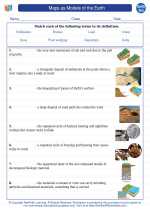
- Map Projection: The method used to represent the three-dimensional surface of the Earth on a two-dimensional map. Different map projections have different strengths and weaknesses, which can lead to distortions in size, shape, distance, or direction.
- Scale: The relationship between distances on a map and actual distances on the Earth's surface. Maps can have different scales, such as large scale (showing small areas in great detail) or small scale (showing large areas with less detail).
- Map Symbols: Conventional signs and symbols used on maps to represent natural and human-made features, such as mountains, rivers, roads, and cities.
- Topographic Maps: Maps that show the shape of the Earth's surface with contour lines, providing information about elevation and landforms.
- GIS (Geographic Information System): A system designed to capture, store, manipulate, analyze, manage, and present spatial or geographic data. GIS allows for the creation of complex, layered maps that can be used for various purposes.
Study Guide
When studying maps as models of the Earth, it is important to focus on the following key areas:
- Understand the concept of map projection and be able to identify different types of map projections and their characteristics. Be aware of the distortions associated with each type.
- Learn how to read and interpret map scales. Practice converting map distances to actual distances and vice versa using the scale provided on the map.
- Familiarize yourself with common map symbols and their meanings. Understand how different symbols represent various features on the Earth's surface.
- Explore the use of topographic maps and learn how to interpret contour lines to understand elevation and landforms.
- Gain an understanding of GIS and its applications in modern mapping and spatial analysis. Explore how GIS technology is used in various fields, such as urban planning, environmental science, and emergency management.
By mastering these key concepts and skills, you will develop a solid understanding of maps as models of the Earth and their significance in the field of earth science.
Remember to practice reading and interpreting different types of maps to reinforce your learning and develop a strong foundation in map analysis and understanding.
Good luck with your studies!
.◂Earth Science Worksheets and Study Guides High School. Maps as Models of the Earth
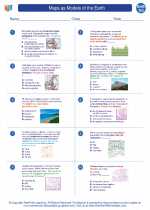
 Worksheet/Answer key
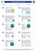
 Worksheet/Answer key
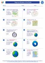
 Worksheet/Answer key
 Vocabulary/Answer key
 Vocabulary/Answer key
 Vocabulary/Answer key